Posted on

Amboy Crater…Ever Heard of It?


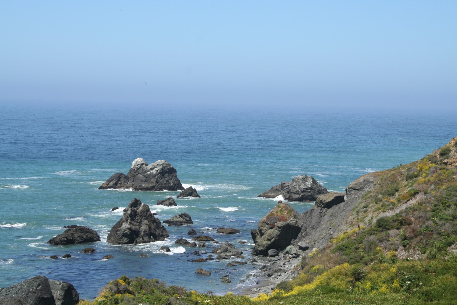
Amboy Crater is an extinct North American cinder cone type of volcano that rises above a 27 square mile lava field in southern California. This 250-foot-high crater is 1,500 feet in diameter. Located in the Barstow-Bristol trough, a conspicuous west-northwest trending physiographic feature, this field was created by at least four distinct periods of eruptions, resulting in a group of volcanic cinder cones. The most recent eruption of Amboy crate was about 10,000 years ago.

 One of the best examples in the Mojave Desert of a volcanic cinder cone, it is situated in one of the youngest volcanic fields in the United States.

A footpath leads to the top of the cone where you can get a good view of the surrounding area. The hike to the Crater and back can take 2-3 hours. Late January through March are good times to see the wildflowers.


Designated a National Natural Landmark in 1973, Amboy Crater was recognized for its visual and geological significance. Although Amboy Crater is not unique, it is an excellent example of a very symmetrical volcanic cinder cone.

The inside of the 250′ high crater contains two lava dams behind which has formed small lava lakes. These are now flat in general appearance, covered with light colored clay, creating the impression of miniature “dry lakes.” There is a breach on the west side of the crater where basaltic lava poured out over a vast area. Beyond the crater lies 24 square miles of lava flow containing such features as lava lakes, collapsed lava tubes and sinks, spatter cones and massive flows of basalt.


The scenic and solitary Amboy Crater was a popular sight and stop for travelers on U.S. Route 66 in California before the opening of Interstate 40 in 1973. Other than a stretch of U.S. Route 66 in New Mexico, Amboy Crater was one of few extinct volcanoes along the entire route, so generations of U.S. Route 66 travelers from the 1920s through the 1960s could boast that they had climbed a real volcano. Visits decreased after Interstate 40 opened, but have increased in recent years with the nearby Mitchell CavernsMojave National Preserve, and renewed historical tourism interest in “old Route 66.”


The Federal Bureau of Land Management (BLM) recommends using the Western Cone Trail to reach the volcano peak’s rim, a steep and rocky hiking trail. The trailhead is at the Amboy Crater day use parking area, which provides shaded and open picnic tables and public restrooms. Regular desert precautions apply here: being alert for rattlesnakes and old military explosives, and having a hat, sunscreen, sturdy shoes, and abundant drinking water. Educational and organized groups are advised to contact the BLM before heading out to Amboy Crater.
To get to the trailhead: From Barstow, take Interstate 40 west to exit 50. Turn right on Crucero Road and make an immediate left onto Route 66. Take route 66 for 26 miles to the crater.
Posted on

Bodega Bay Beaches…Great Summer Fun

Looking for some beach time this summer? 

Head north to the beaches along Bodega Bay. They’re close, they offer a variety of activities, the rugged coastline provides endless photo opportunities, and the scenery is spectacular.

Here are just a few:

Salmon Creek is a wide expanse of beach at the point where Salmon Creek meets the Pacific. Surfers and families love this beach.

Goat Rock is a fantastic spot for kayakers and anyone enjoying a great view. Plus, there’s the rock…Goat Rock.

Portuguese Beach is a long, wide beach between Bodega Bay and the Russian River. It’s one of the largest sandy beaches in the area, providing a lengthy walking beach.

Arched Rock Beach is named for the big rock with a hole in it. The rock is actually next to Marshall Gulch Beach. Visit here during low tides.

Schoolhouse Beach is one of the wider and nicer beaches along the Pacific between Bodega Bay and the Russian River. Explore the tide pools and the sandy expanse.

Wright’s Beach consists of coarse sand, smooth, small pebbles, and Jade, agates, and chert. Looking for some true California Jade? You’ll need to spend some time looking closely at each pebble. Happy hunting.
  

Posted on

Did You Know?

Speaking of Passports…

Did you know…

US passports are made with an amazing 60 different materials provided by 16 vendors.

Benjamin Franklin is considered to have one of the first recorded US passports, according to the Smithsonian.

In 2016 the US Department of State issued 18.7 million passports. There were 131.8 million valid passports in circulation. In 2017, 18 million of those are set to expire.

The US was the first country to issue machine readable passports. This happened in 1981.

The President of the United States is required to travel with a passport.

All US citizens are required to use US passports when entering the United States, even if they hold dual citizenship.

Posted on

Need Your Passport Renewed?

There has been a great deal of information lately about passports, renewing them, and making sure they are up-to-date.

That’s a key if you travel outside of the US. Always check your passport before you make your reservations. Do you know where it is? When does it expire? Where do you go to get a new photo taken?

Here are some interesting facts and some tips for taking care your passport is absolutely in tip top shape.

If you need a new photo…don’t take a selfie. I had mine taken at Costco. The price was right and they made sure it looked exactly like the requirements.

On your photo…don’t smile, don’t wear your glasses, hats, temporary tattoos, uniforms, or headphones. Unacceptable photos are the number one reason passport applications are denied, according to the State Department.

Why would you need a new passport if your old one is not expired? If you’ve had extreme plastic surgery, tattooed your face, or lost or gained a large amount of weight…you could be required to get a new passport.

Posted on

Post by The Travel Ambassador

As a travel blogger and a traveler, I follow other viable travel professionals. One who always has good information is The Travel Ambassador, Angel Castellanos.

Check out his recent post on the Best New Travel Apps for 2017. It’s a worthwhile post with lots of great info.

Here is the link…copy and paste in your browser.

http://www.angelstravellounge.com/index.php/apps-2017/#more-4739

Posted on

Olympic National Park

Looking for a unique driving trip, complete with variety, simplicity, and history? How about the diversity of visiting rain forests, mountains, glaciers, coastlines, lakes, and rivers all in one place. Impossible?

Look no further than Olympic National Park, located on the Olympic peninsula in Washington. At almost one million acres and encompassing several different ecosystems, Olympic seems to have it all.

Hunters, whalers, explorers, and at least eight different Olympic Peninsula tribes of Native Americans have called this area home for a long time…over 2,900 years, at least. We now call it Olympic National Park…since 1938, that is.

Driving past and through an old growth temperate rain forest is humbling to say the least. Stop and experience a piece of that rain forest up close. These massive conifers stand over 25 stories tall. That’s hard to comprehend, even when you’re standing at the bottom, trying to find the sky above. Look closely to distinguish different shades of green from forest floor emerald green to treetop Christmas green. Listen to the quiet. Step over fallen trees that look like they contain enough lumber for a good sized house.

Continue driving and the Pacific Ocean appears, complete with fog and gray skies. With about 75 miles of wilderness coastline and 490 offshore islands, Olympic National Park contains one of the longest and most dramatic stretches of uninterrupted coast in the United States. While you can’t exactly drive all of that coastline, take the time to stop at strategically placed view points along the highway.  Most likely, you’ll pull out your camera to capture the rocky headlands, eroded arches, and off shore sea stacks. But, it just doesn’t do it justice.

Don’t forget your rain gear, either. They don’t report inches of rain here…they talk in feet. Fourteen to eighteen feet of rain every year is impressive and important to the green carpet beneath you and the canopy above you. Could be that’s why this is a rain forest, huh? This primeval temperate rain forest is unique in many aspects. Rain forests like this one used to exist from southern Oregon to southeast Alaska. Not so much, anymore however. Now, they only exist in Chile, New Zealand, and southern Australia. We’re fortunate to be able to visit up close and personal here.

Okay, you’ve seen the Pacific with its wild coastline and the trees just don’t stop. Looking for lakes? 
One favorite is Lake Crescent, the result of glacial action. It’s deep, over 600 feet, and cold. Bluish-green in color, it’s also so clear you can often see at least 60 feet down. Why? The lake has very little nitrogen, which limits the growth of phytoplankton, the algae found in many lakes. Weaving along the highway in and out of the forest offers glimpses of Lake Crescent, often postcard perfect. From a distance, blue-black trees huddle up next to the shoreline and seem to disappear into the dark water. 

Want to explore some more? Hike one of the eight trails around the lake and depending upon your level of hiking, you can climb up to a 90 foot waterfall, you can step over previous landside areas, you can wander through old growth forests, or hike to some ridge views that make you feel like you’re on top of the world.

With this much diversity and seemingly countless opportunities for exploring, Olympic National Park is more than a one day trip. Especially if you want to get to know this grand old park. US Highway 101 takes you around the entire park and you could hurry your way around it. Would you see rain forests, unspoiled coastline, glacier carved lakes that make you feel like you’re in northern Italy, miles and miles of old trees, and countless logging trucks? Sure…but not well.

Instead, take some more time to really get to know and explore this special piece of America. Visitor centers offer maps, exhibits, and rangers who will answer questions and give information. A great place to stop is at the one located in Port Angeles. Others are located in the Hoh Rain Forest area and Hurricane Ridge.

Why visit now? Our National Parks turn 100 years old in 2016, so this is the perfect time to visit Olympic National Park. Watch out, though…it will steal your heart like no other park. After all…it’s not like any other National Park we have. I think Einstein was correct…there is simplicity here.

If you go: Olympic National Park is open 24 hours a day, year round. Some roads, campgrounds, and trails are only open seasonally, however. Check the National Park Service website for additional information, http://www.nps.gov/olym/index.htm.